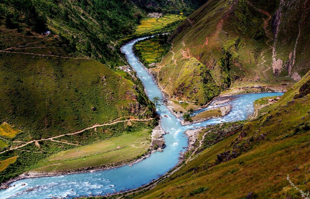
New Delhi, January, 23: In a development that is a matter of concern to India and Nepal, China is constructing a dam on the Mabja Zangbo river in Tibet, close to the tri-junction, satellite imagery has revealed.
The dam is around 16-Kms North of the tri-junction and is opposite the Kalapani area of Uttarakhand, according to sources in the security establishment.
The Mabja Zangbo river originates in the Nagari county of Tibet, flows through Nepal into the Ghaghara river before joining the Ganga in India.
In a tweet on January 19, Damien Symon, a geospatial Intelligence Researcher at Intel lab as per twitter profile, posted satellite images of the dam’s construction. The images show the activity since May 2021 in the Burang county of Tibet that shares its borders with Nepal.
“Since early 2021, China has been constructing a Dam on the Mabja Zangbo river just a few kilometers North of the tri-junction border with India and Nepal. While the structure isn’t complete, the project will raise concerns regarding China’s future control on water in the region,” Symon says in his tweet.
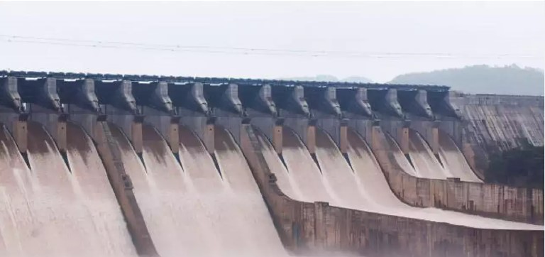
The images show the formation of an embankment type dam with a reservoir.
According to sources, dams close to the border could be used by China to strengthen its claims on the disputed areas in the region.
“In addition to using water as leverage, the possibility of a military establishment by China near the tri-junction cannot be ruled out as the country had developed the same in the Yarlung Zangbo river near Arunachal Pradesh,” sources explained.
The Yarlung Zangbo, as the Brahmaputra is called in Tibet, originates in the Himalayas in Tibet, enters India in Arunachal Pradesh, passes through Assam and then Bangladesh before joining the Bay of Bengal.